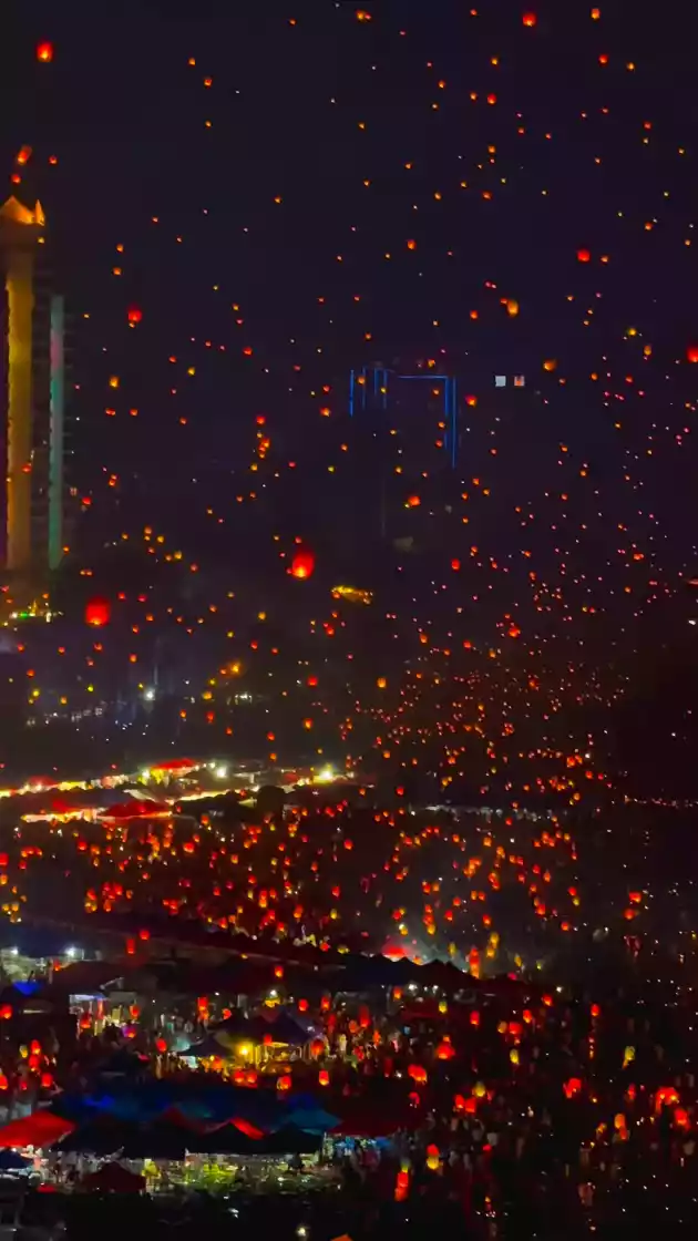
Live Your Best Lives
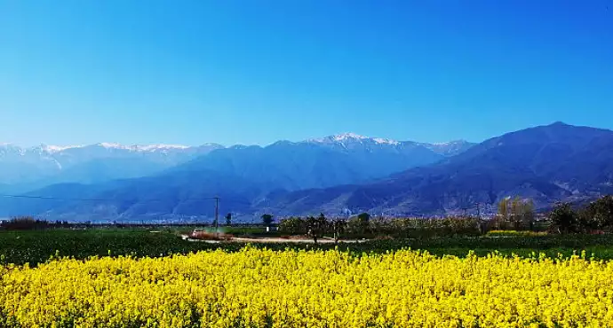
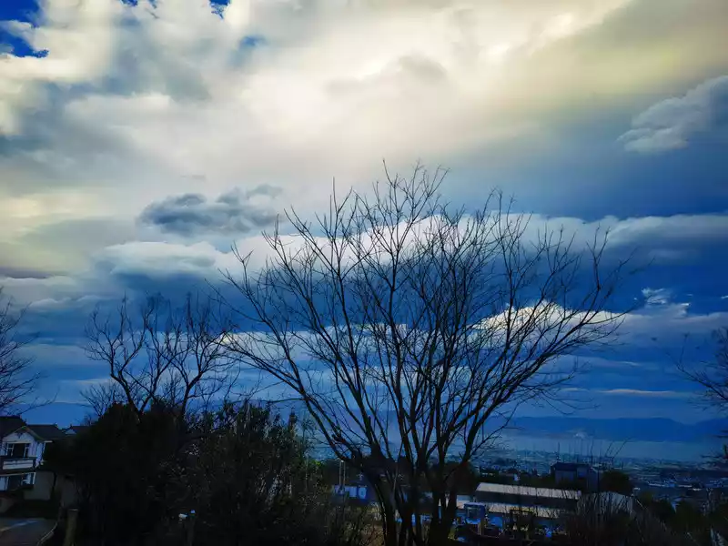
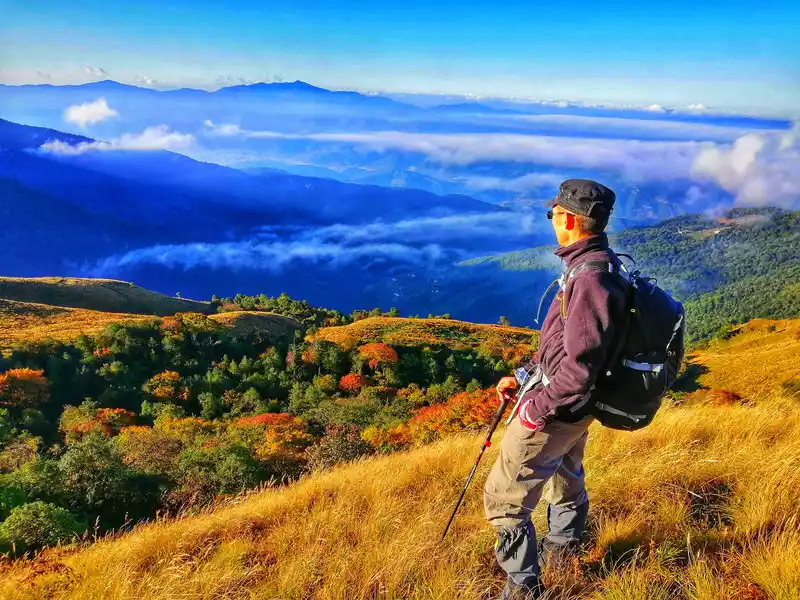
Spring is here in Dali, and it's time to go hiking and camping! Enjoy the blossoms, feel free and comfortable, and be the master of your own life. Today, I'm recommending some off-the-beaten-path places worth visiting, hoping to help those in need. Here are five classic off-the-beaten-path itineraries in Dali. If you're interested, please refer to them or share them for future reference.
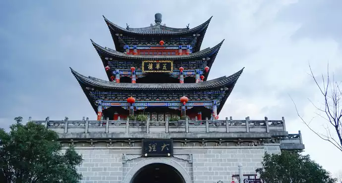
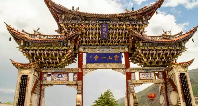
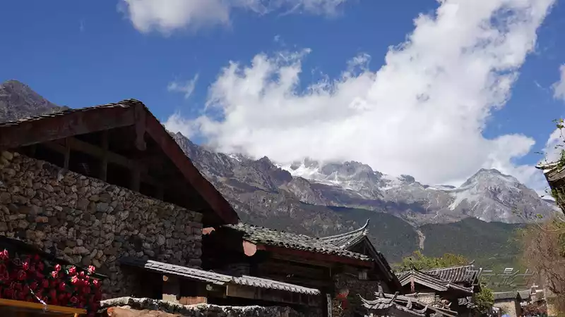
 Dali Bai Autonomous Prefecture
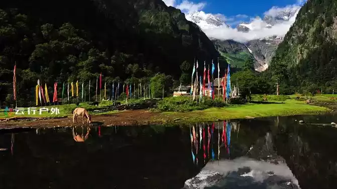
 Niaodiao Mountain in Eryuan, Dali, a little-known hiking destination! I've hiked there eight times, and the scenery remains breathtakingly beautiful! Check in to the good life, my colorful life! If you have any questions about hiking Niaodiao Mountain, follow me and visit my homepage for personalized assistance.
 Dali Bai Autonomous Prefecture
 Muxiangping in Shuanglang, Dali, is a little-known gem. It's named for the relatively flat topography and abundance of the herbal accord, costus root. Muxiangping is approximately 13 kilometers southwest of Jizu Mountain. Located at the junction of Binchuan County, Eryuan County, and Dali City, its secluded and remote location has made it a sought-after "pure land" for many outdoor enthusiasts. Muxiangping actually falls under the jurisdiction of Shuanglang Town, Dali City, not Binchuan. Perhaps due to its proximity to the Jizu Mountain Scenic Area, it is often mistakenly considered to be part of Binchuan. Many people believe that Jinding Tianzhu Peak is the highest peak in Jizu Mountain, but Muxiangping, located opposite Jizu Mountain, is 73 meters higher. The Muxiangping meadow encompasses a narrow valley approximately 2 kilometers wide from east to west and 3 kilometers long from north to south. Standing at the eastern summit of Muxiangping, one can overlook the entire meadow to the west, catching a distant view of the Lengyan White Pagoda atop Jizu Mountain to the east, and gazing westward at the magnificent Erhai Lake and the Jade Belt Clouds of Cangshan Mountain. The scenery is truly breathtaking.
Muxiangping Travel Tips:
◆There is currently no direct public transportation from Shuanglang to Muxiangping, so you'll need to drive or charter a car. The road from Shuanglang to Muxiangping is mountainous, with many bends and steep slopes. Although it's paved with concrete, the road is narrow, so drive carefully.
◆Driving directly from Shuanglang to Muxiangping is not possible; you'll need to hike about 3 kilometers.
◆To enjoy the flowers at Muxiangping, be sure to choose a clear day for the most beautiful scenery.
 Dali Bai Autonomous Prefecture
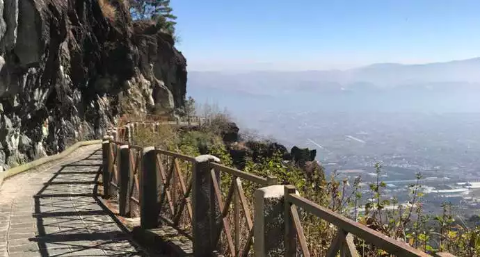
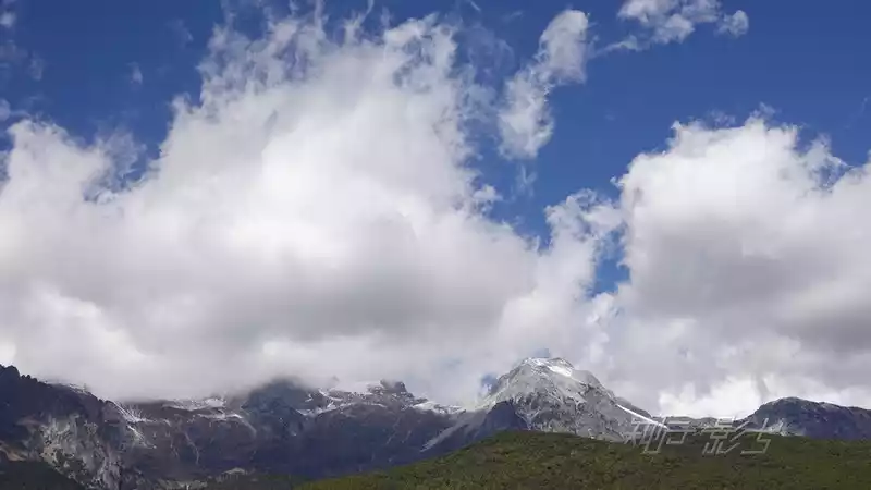
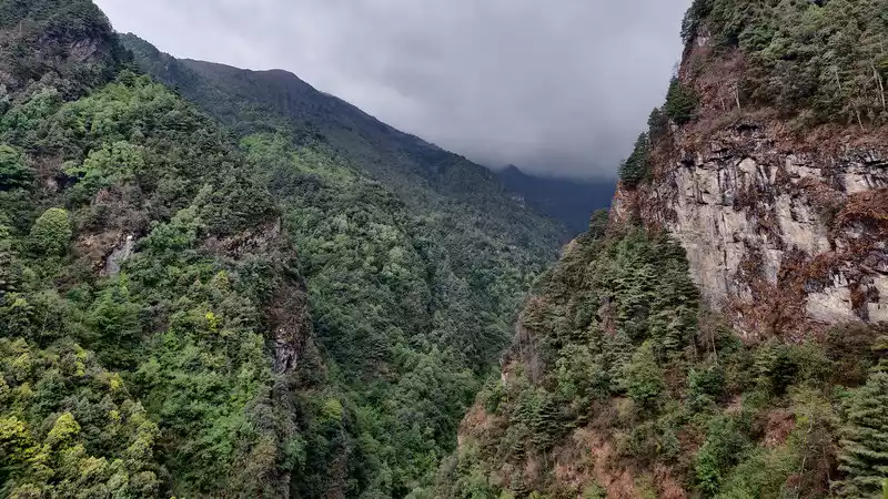
 Jisheqing in Cangshan, Dali, is located in a valley south of Cangshan's Xieyang Peak. It was once the source of water for a water plant in Xiaguan. It's said to be named after the long, slender shape of the stream on Cangshan Mountain, resembling a chicken's tongue. Another theory is that a stone resembling a chicken's tongue within the stream gave it the name "Jisheqing." The spring water from Jisheqing flows down the stream, passing near Daboqing Village, and ultimately empties into the Xi'er River.
Starting from the "General Cave" of Cangshan Mountain, follow the nearly horizontal path southwest around Cangshan Mountain to the old "water station" at "Jisheqing." Near the "General Cave," the path stretches for about a kilometer along a dirt ditch, with the path along the edge. The rest of the path is a cement ditch with a sealed cement ditch cover.
The trail from "General Cave" to "Jisheqing" on Cangshan Mountain is 11 kilometers long, with elevations ranging from 2,100 to 2,200 meters. It offers beautiful scenery and is a popular and secluded hiking and leisure destination. The locals of Dali call this path the "Little Jade Belt Road," and the name is well-deserved. Compared to the Dali Cangshan Jade Belt Cloud Road, this path avoids the 2,600-meter climb halfway up the mountain, yet still offers breathtaking scenery, making it a perfect spot for a relaxing hike.
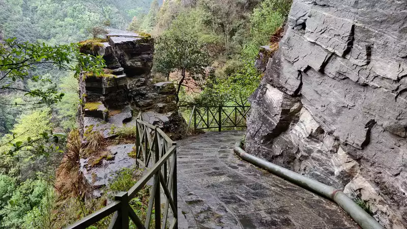
Travel Guide for the Xiaoyudai Road in Cangshan:
◆ Traveling to Jisheqing in Cangshan, Dali, will likely require repairs to the 9-kilometer landslide area before you can resume your journey. While the area isn't currently safe to travel, hiking a portion of the Xiaoyudai Road is a unique and enjoyable experience.
◆ Travelers driving to hike the Xiaoyudai Road are advised to park at the Baima Temple near Shangcun for both convenience and safety.
◆ The Xiaoyudai Road in Cangshan, Dali, offers stunning scenery without the risk of difficulty or safety hazards. It's a hidden gem of a hiking destination you'll want to return to.
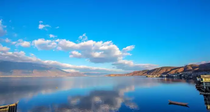
 Dali Bai Autonomous Prefecture
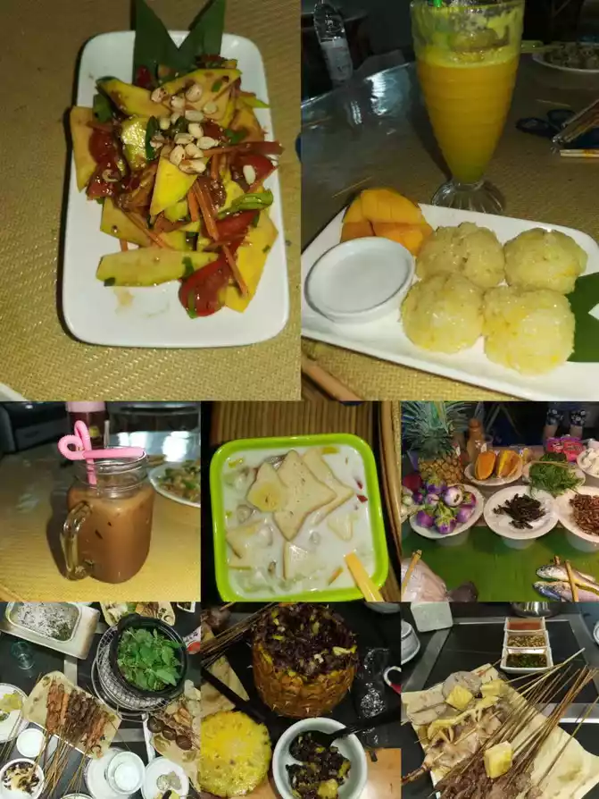
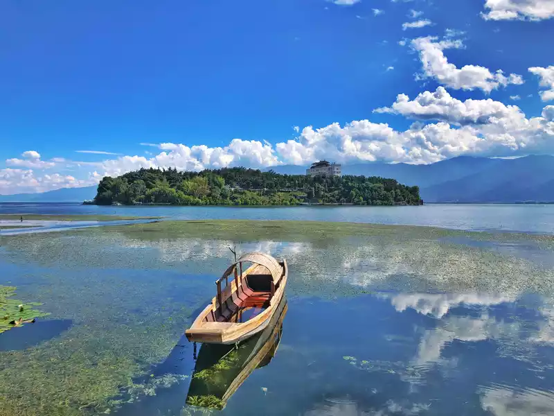
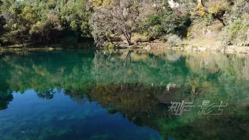
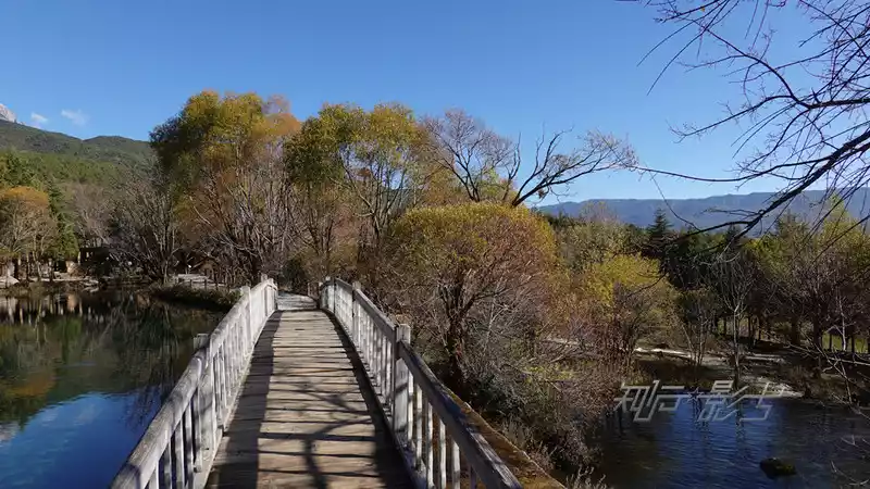
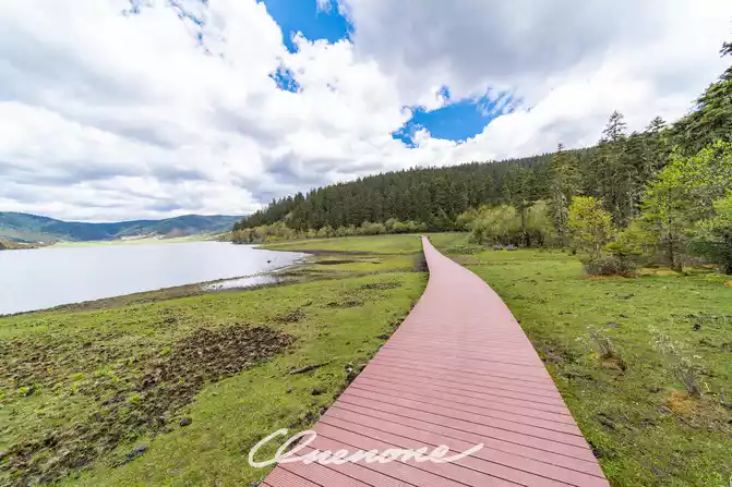
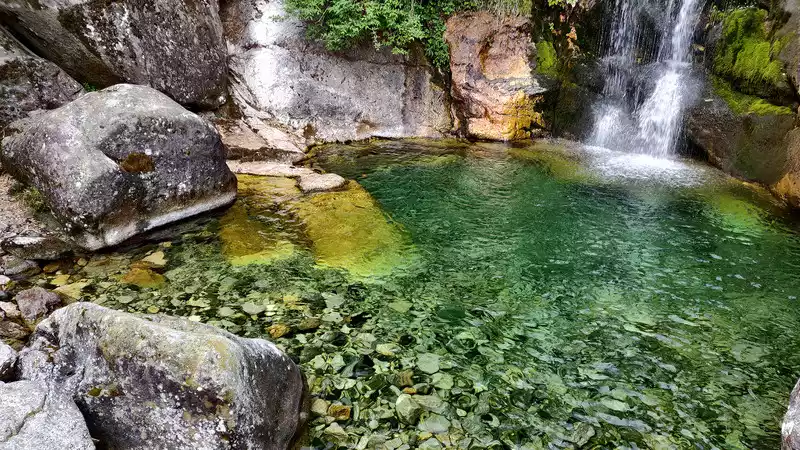
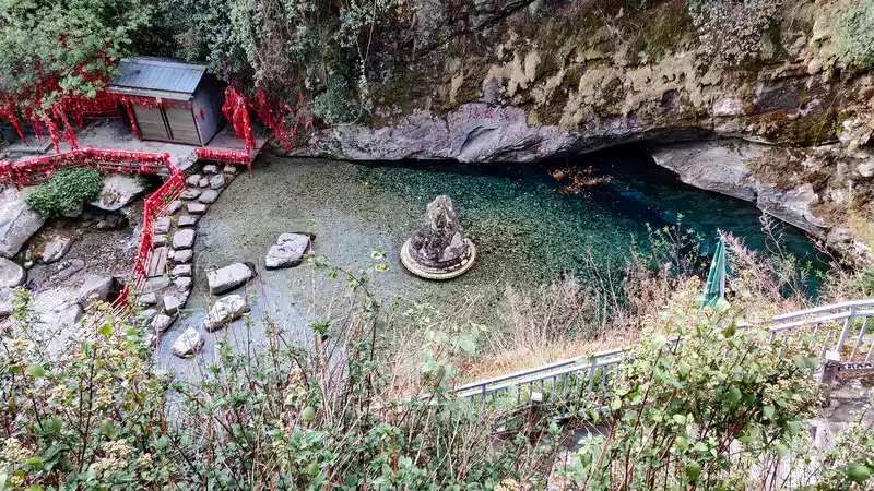
 Cibi Lake in Eryuan County, Dali, is a beautiful place with a rich variety of delicious food, making it a must-visit destination.
Cibi Lake's Location: Located in the northeast of Eryuan County, Dali, Yunnan Province, approximately 3 kilometers from the county seat and 73 kilometers from Dali Ancient Town, it is a natural freshwater lake on the plateau and one of the major lakes upstream of Erhai Lake, serving as its source.
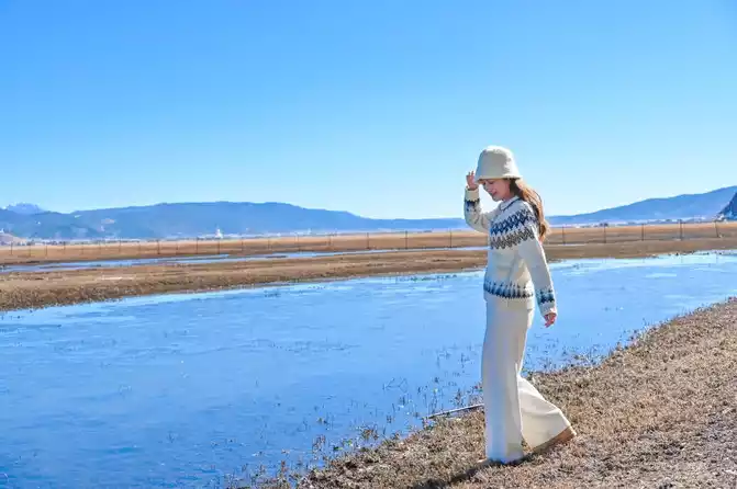
Cibi Lake covers an area of approximately 8 square kilometers, measuring 6 kilometers from north to south and approximately 3 kilometers from east to west, with a total shoreline of approximately 18 kilometers. The lake's emerald green waters are home to a vibrant display of cibi flowers, creating a spectacular display of water spray, earning the lake its name. Cibi flowers belong to the Nymphaeaceae family, with heart-shaped leaves that float on the surface. Stems seven or eight feet long are embedded in the muddy bottom. The flowers bloom in summer, resembling lotus pods and often in a yellowish-white color. They bloom daily from noon to 4 p.m., remaining closed as buds. The fragrance of the flowers is irresistible.
Suggested Cibi Lake Route:
◆The "Circum-Cibi Lake" route on this hike is moderately difficult, offering captivating views of the lake and mountains, a destination you'll want to visit again.
◆The "Lower Line" on the east shore of Cibi Lake is an 8-kilometer, forested trail rarely visited by hikers. The route is primarily covered in low shrubs and thorns, making it a challenging hike. However, the stunning lake views make the journey truly worthwhile. Recommendation: Find a guide and travel with companions.
◆The remaining 10 kilometers along Cibi Lake are flat, paved paths. Aside from requiring physical strength and perseverance, the hike is not particularly challenging.
 Dali Bai Autonomous Prefecture
 Polo Temple in Cangshan, Dali, is a small, secluded temple and a great place for outdoor hiking in Cangshan. Polo Temple is named after a cave in the mountains. Legend has it that a great monk practiced in this small cave and ultimately achieved enlightenment. While practicing, the monk recited the Paramita Sutra daily, and the cave became known as Polo Cave.
Dali's Cangshan Polo Temple is nestled on the hillside of Shengying Peak on Cangshan Mountain (approximately 2,700 meters above sea level). It's a remarkably tranquil temple nestled among beautiful mountains and waters, and amidst emerald green forests. While all the temples on Cangshan Mountain face east, directly overlooking Erhai Lake, only Polo Temple faces south, with its gate facing the mountain.
I've hiked to Polo Temple many times and am familiar with several different routes. The round-trip distance is about ten kilometers, with an elevation gain of around 700 meters. Overall, the hike is of moderate difficulty and suitable for most visitors.
Warm Tips:
Polo Temple is located deep in the dense forests of Cangshan Mountain, and internet reception is poor. Please prepare cash for meals (20 yuan per person).
Number of days:9 days, Average cost: 6,000 yuan, Updated: 2024.10.01
Number of days:3 days, Average cost: 3000 yuan, Updated: 2024.06.23
Number of days:6 days, Average cost: 6,000 yuan, Updated: 2021.06.11

Number of days: 5 days, Average cost: 5000 yuan, Updated: 2021.02.21

Number of days: 12 days, Average cost: 8,000 yuan, Updated: 2025.02.25
Number of days: 4 days, Average cost: 1,000 yuan, Updated: 2023.05.08